![Large British Isles UK Physical Map - Paper Laminated 120 x 100 cm [GM]](https://m.media-amazon.com/images/I/517UOHBO-XL._AC_SL1080_.jpg)
![Large British Isles UK Physical Map - Paper Laminated 120 x 100 cm [GM]](https://m.media-amazon.com/images/I/51Tfw1mo5OL._AC_SL1080_.jpg)
![Large British Isles UK Physical Map - Paper Laminated 120 x 100 cm [GM]](https://m.media-amazon.com/images/I/619hJvP1ySL._AC_SL1080_.jpg)
![Large British Isles UK Physical Map - Paper Laminated 120 x 100 cm [GM]](https://m.media-amazon.com/images/I/61sjNwr1zXL._AC_SL1080_.jpg)
Large British Isles UK Physical Map - Paper Laminated 120 x 100 cm [GM] by Amazon.co.uk
Price last update: 13/06/2025
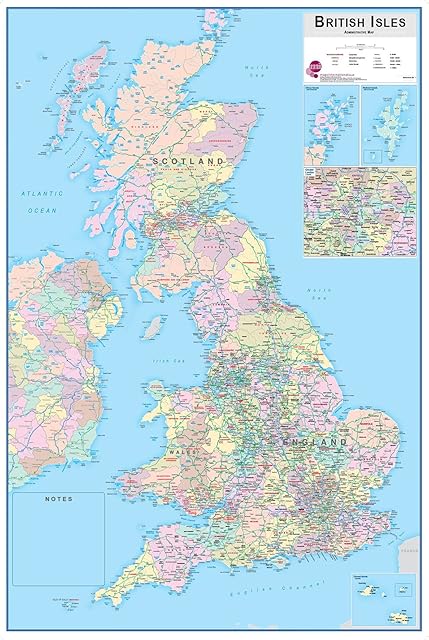
- • A large Physical map of the British Isles.
- • Depicts relief and terrain detail through a unique blend of digital elevation modelling and realistic surface representation - some 80 million spot heights have been processed to create the hill shading. All major physical features are identified including mountains, rivers, islands, capes and bays.
- • A bright, clear and attractive map which is the perfect to study from.
- • Printed on high-quality poster paper which is then finished with a gloss laminate.
- • The size of this map is 120 x 100 cm (APPROX)
Product information
- Colour:Clear
- Brand:Tiger Moon The Tiger Moon Trading Company Ltd
- Map type:Physical Map
- Paper finish:Glossy
Related products to Large British Isles UK Physical Map - Paper Laminated 120 x 100 cm [GM]:


Other products from Maps:


![Large British Isles UK Physical Map - Paper Laminated 120 x 100 cm [GM]](https://m.media-amazon.com/images/I/517UOHBO-XL._AC_SL320_.jpg)
Large British Isles UK Physical Map - Paper Laminated 120 x 100 cm [GM] by Amazon.co.uk